Rannoch Road, Filton
Introduction
The photograph on this page of Rannoch Road, Filton by Jaggery as part of the Geograph project.
The Geograph project started in 2005 with the aim of publishing, organising and preserving representative images for every square kilometre of Great Britain, Ireland and the Isle of Man.

There are currently over 7.5m images from over 14,400 individuals and you can help contribute to the project by visiting https://www.geograph.org.uk
Rannoch Road, Filton
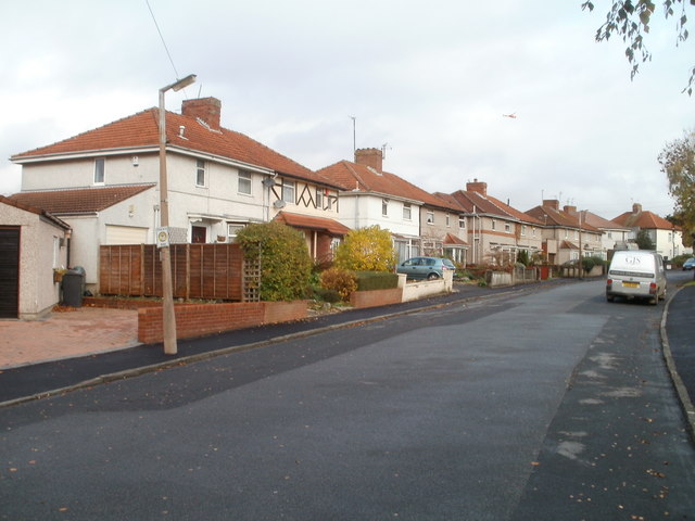
Image: © Jaggery Taken: 6 Nov 2010
Houses on the west side of Rannoch Road, viewed from near the corner of Braemar Avenue. A speck just visible above the houses (centre right) is a helicopter.
Images are licensed for reuse under creativecommons.org/licenses/by-sa/2.0
Image Location
Latitude
51.503088
Longitude
-2.582002