Portslade Sixth Form College
Introduction
The photograph on this page of Portslade Sixth Form College by nick macneill as part of the Geograph project.
The Geograph project started in 2005 with the aim of publishing, organising and preserving representative images for every square kilometre of Great Britain, Ireland and the Isle of Man.

There are currently over 7.5m images from over 14,400 individuals and you can help contribute to the project by visiting https://www.geograph.org.uk
Portslade Sixth Form College
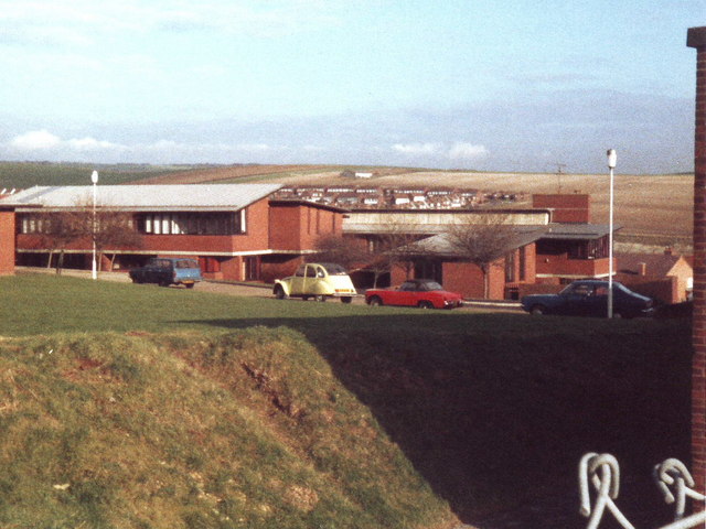
Image: © nick macneill Taken: Unknown
The buildings have now been replaced by houses and the sixth form college has been transferred to another site. At the time of the photo, the buildings had operated as a college for about five years, but before this they were part of the London County Council Reformed School, the main building of which was to the right of the photo.
Images are licensed for reuse under creativecommons.org/licenses/by-sa/2.0
Image Location
Latitude
50.845722
Longitude
-0.227409