Allt Dolau Cothi Wood
Introduction
The photograph on this page of Allt Dolau Cothi Wood by Alan Richards as part of the Geograph project.
The Geograph project started in 2005 with the aim of publishing, organising and preserving representative images for every square kilometre of Great Britain, Ireland and the Isle of Man.

There are currently over 7.5m images from over 14,400 individuals and you can help contribute to the project by visiting https://www.geograph.org.uk
Allt Dolau Cothi Wood
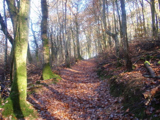
Image: © Alan Richards Taken: 7 Nov 2010
Llwybr canitaol yn Allt Dolau Cothi, Pumsaint Permissive path in Allt Dolau Cothi Wood, Pumsaint
Images are licensed for reuse under creativecommons.org/licenses/by-sa/2.0
Image Location
Latitude
52.052988
Longitude
-3.9634