Billingshurst Bypass
Introduction
The photograph on this page of Billingshurst Bypass by Colin Smith as part of the Geograph project.
The Geograph project started in 2005 with the aim of publishing, organising and preserving representative images for every square kilometre of Great Britain, Ireland and the Isle of Man.

There are currently over 7.5m images from over 14,400 individuals and you can help contribute to the project by visiting https://www.geograph.org.uk
Billingshurst Bypass
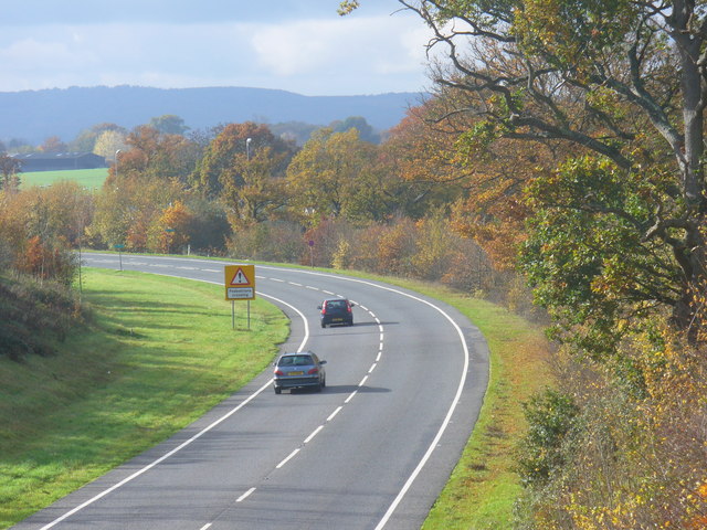
Image: © Colin Smith Taken: 6 Nov 2010
This modern A29 road leaves the alignment of Stane Street to take through traffic around the west side of the old market town of Billingshurst, thus relieving congestion in the village.
Images are licensed for reuse under creativecommons.org/licenses/by-sa/2.0
Image Location
Latitude
51.025097
Longitude
-0.459284