Loch Duich
Introduction
The photograph on this page of Loch Duich by John Allan as part of the Geograph project.
The Geograph project started in 2005 with the aim of publishing, organising and preserving representative images for every square kilometre of Great Britain, Ireland and the Isle of Man.

There are currently over 7.5m images from over 14,400 individuals and you can help contribute to the project by visiting https://www.geograph.org.uk
Loch Duich
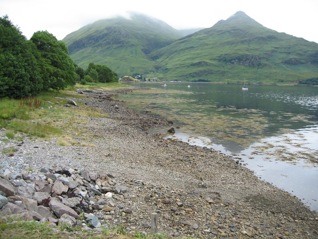
Image: © John Allan Taken: 4 Aug 2006
Looking along the northern shore towards Shiel Bridge.
Images are licensed for reuse under creativecommons.org/licenses/by-sa/2.0
Image Location
Latitude
57.232854
Longitude
-5.428043