St Andrew's, Filton
Introduction
The photograph on this page of St Andrew's, Filton by Jaggery as part of the Geograph project.
The Geograph project started in 2005 with the aim of publishing, organising and preserving representative images for every square kilometre of Great Britain, Ireland and the Isle of Man.

There are currently over 7.5m images from over 14,400 individuals and you can help contribute to the project by visiting https://www.geograph.org.uk
St Andrew's, Filton
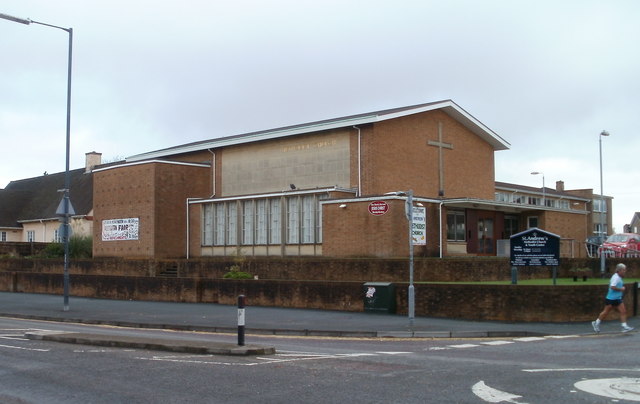
Image: © Jaggery Taken: 6 Nov 2010
Methodist Church and Youth Centre located on the corner of Gloucester Road North (A38) and Elm Park. The Youth Centre is in the church hall, behind the church, on Elm Park.
Images are licensed for reuse under creativecommons.org/licenses/by-sa/2.0
Image Location
Latitude
51.505807
Longitude
-2.577714