Earthworks, Buckton
Introduction
The photograph on this page of Earthworks, Buckton by Humphrey Bolton as part of the Geograph project.
The Geograph project started in 2005 with the aim of publishing, organising and preserving representative images for every square kilometre of Great Britain, Ireland and the Isle of Man.

There are currently over 7.5m images from over 14,400 individuals and you can help contribute to the project by visiting https://www.geograph.org.uk
Earthworks, Buckton
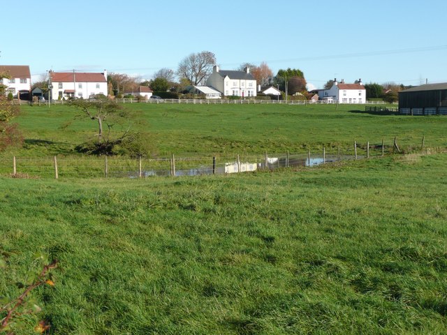
Image: © Humphrey Bolton Taken: 6 Nov 2010
On the slope between the pond and the main road in front of the houses. Possibly a medieval farmstead or part of the village. On the OS map the pond is round.
Images are licensed for reuse under creativecommons.org/licenses/by-sa/2.0
Image Location
Latitude
54.135634
Longitude
-0.190822