Colfen Nantcwmgwili Tree, Llanllawddog
Introduction
The photograph on this page of Colfen Nantcwmgwili Tree, Llanllawddog by Alan Richards as part of the Geograph project.
The Geograph project started in 2005 with the aim of publishing, organising and preserving representative images for every square kilometre of Great Britain, Ireland and the Isle of Man.

There are currently over 7.5m images from over 14,400 individuals and you can help contribute to the project by visiting https://www.geograph.org.uk
Colfen Nantcwmgwili Tree, Llanllawddog
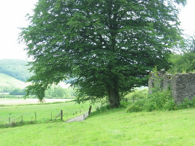
Image: © Alan Richards Taken: 14 Jun 2009
Colfen fawr ar lwybr cyhoeddus ger Ffarm Nantcwmgwili. Yr adeilad adfeiliedig ar y dde yw'r hen felin. A large tree on public footpath near Nantcwmgwili Farm. The ruined building on the right is the former mill.
Images are licensed for reuse under creativecommons.org/licenses/by-sa/2.0
Image Location
Latitude
51.935942
Longitude
-4.252876