Towards Springbottom Farm
Introduction
The photograph on this page of Towards Springbottom Farm by Liz Stone as part of the Geograph project.
The Geograph project started in 2005 with the aim of publishing, organising and preserving representative images for every square kilometre of Great Britain, Ireland and the Isle of Man.

There are currently over 7.5m images from over 14,400 individuals and you can help contribute to the project by visiting https://www.geograph.org.uk
Towards Springbottom Farm
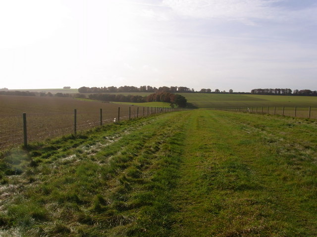
Image: © Liz Stone Taken: 3 Nov 2010
View south from a very wide byway over the downs.
Images are licensed for reuse under creativecommons.org/licenses/by-sa/2.0
Image Location
Latitude
51.160748
Longitude
-1.831064