Gateway, Condover
Introduction
The photograph on this page of Gateway, Condover by Stephen Richards as part of the Geograph project.
The Geograph project started in 2005 with the aim of publishing, organising and preserving representative images for every square kilometre of Great Britain, Ireland and the Isle of Man.

There are currently over 7.5m images from over 14,400 individuals and you can help contribute to the project by visiting https://www.geograph.org.uk
Gateway, Condover
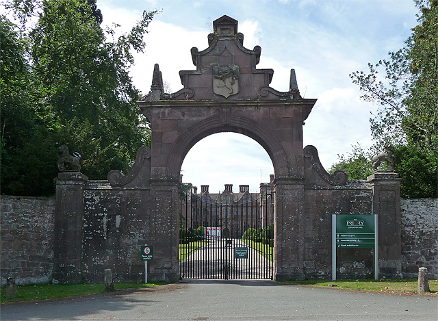
Image: © Stephen Richards Taken: Unknown
The main entrance to Condover Hall, which can be seen beyond. Built c1598 of local pink sandstone (the wrought iron gates are C19th). Grade I listed. After many years as a school, the house is now an educational activity centre.
Images are licensed for reuse under creativecommons.org/licenses/by-sa/2.0
Image Location
Latitude
52.646591
Longitude
-2.7465