A11 drainage ponds
Introduction
The photograph on this page of A11 drainage ponds by Hugh Venables as part of the Geograph project.
The Geograph project started in 2005 with the aim of publishing, organising and preserving representative images for every square kilometre of Great Britain, Ireland and the Isle of Man.

There are currently over 7.5m images from over 14,400 individuals and you can help contribute to the project by visiting https://www.geograph.org.uk
A11 drainage ponds
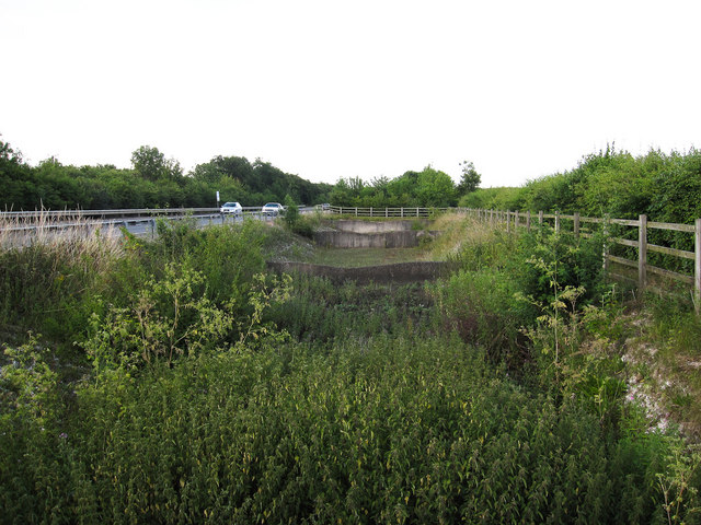
Image: © Hugh Venables Taken: 8 Jul 2010
There is a path here linking the path along Fleam Dyke to the bridleway to the north-east.
Images are licensed for reuse under creativecommons.org/licenses/by-sa/2.0
Image Location
Latitude
52.164045
Longitude
0.264474