Bench Mark, Westbury Terrace
Introduction
The photograph on this page of Bench Mark, Westbury Terrace by Maigheach-gheal as part of the Geograph project.
The Geograph project started in 2005 with the aim of publishing, organising and preserving representative images for every square kilometre of Great Britain, Ireland and the Isle of Man.

There are currently over 7.5m images from over 14,400 individuals and you can help contribute to the project by visiting https://www.geograph.org.uk
Bench Mark, Westbury Terrace
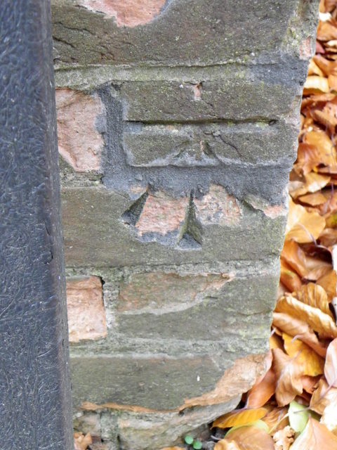
Image: © Maigheach-gheal Taken: 3 Nov 2010
Between the steps and the sign there is an Ordnance Survey bench mark. For a wider view Image and for more information on the cut mark http://www.bench-marks.org.uk/bm35913
Images are licensed for reuse under creativecommons.org/licenses/by-sa/2.0
Image Location
Latitude
50.944179
Longitude
-2.517772