Dale Farm
Introduction
The photograph on this page of Dale Farm by Michael Patterson as part of the Geograph project.
The Geograph project started in 2005 with the aim of publishing, organising and preserving representative images for every square kilometre of Great Britain, Ireland and the Isle of Man.

There are currently over 7.5m images from over 14,400 individuals and you can help contribute to the project by visiting https://www.geograph.org.uk
Dale Farm
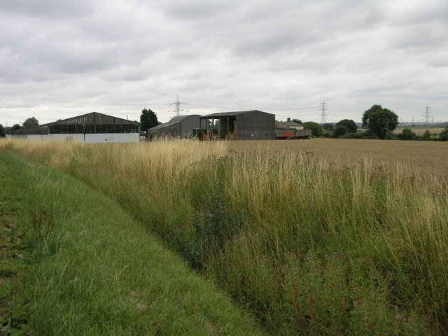
Image: © Michael Patterson Taken: 4 Aug 2006
Dale Farm stands at the top of a shallow valley which is very likely where it gets its name from.
Images are licensed for reuse under creativecommons.org/licenses/by-sa/2.0
Image Location
Latitude
53.050498
Longitude
-0.438012