The northern end of the Downshire Bridge
Introduction
The photograph on this page of The northern end of the Downshire Bridge by Eric Jones as part of the Geograph project.
The Geograph project started in 2005 with the aim of publishing, organising and preserving representative images for every square kilometre of Great Britain, Ireland and the Isle of Man.

There are currently over 7.5m images from over 14,400 individuals and you can help contribute to the project by visiting https://www.geograph.org.uk
The northern end of the Downshire Bridge
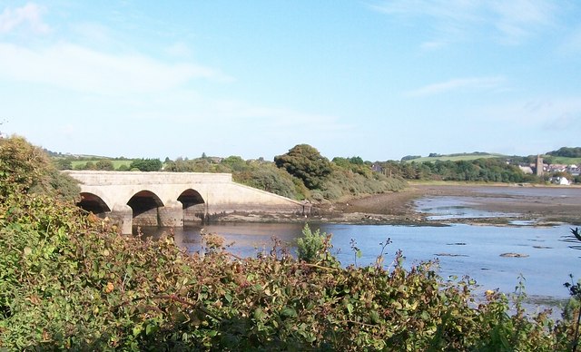
Image: © Eric Jones Taken: 12 Sep 2010
The bridge carries the Keel Point road over the waters of the Carrigs River. St Donard's Church at Dundrum is visible on the extreme right.
Images are licensed for reuse under creativecommons.org/licenses/by-sa/2.0
Image Location
Latitude
54.250695
Longitude
-5.849425