Up Biddulph Park Road
Introduction
The photograph on this page of Up Biddulph Park Road by Jonathan Kington as part of the Geograph project.
The Geograph project started in 2005 with the aim of publishing, organising and preserving representative images for every square kilometre of Great Britain, Ireland and the Isle of Man.

There are currently over 7.5m images from over 14,400 individuals and you can help contribute to the project by visiting https://www.geograph.org.uk
Up Biddulph Park Road
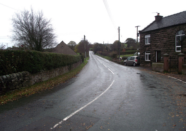
Image: © Jonathan Kington Taken: 3 Nov 2010
Looking up Biddulph Park Road from its junction with Troughstone Road. The building on the right is Chapel Cottage, attached to Image
Images are licensed for reuse under creativecommons.org/licenses/by-sa/2.0
Image Location
Latitude
53.140478
Longitude
-2.147655