Approaching St Mary le Moor, Cadmore End
Introduction
The photograph on this page of Approaching St Mary le Moor, Cadmore End by Rob Rogers as part of the Geograph project.
The Geograph project started in 2005 with the aim of publishing, organising and preserving representative images for every square kilometre of Great Britain, Ireland and the Isle of Man.

There are currently over 7.5m images from over 14,400 individuals and you can help contribute to the project by visiting https://www.geograph.org.uk
Approaching St Mary le Moor, Cadmore End
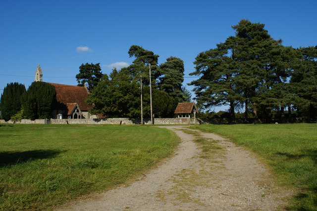
Image: © Rob Rogers Taken: 12 Sep 2009
The track from Hanger Wood leads into Cadmore End opposite St Mary le Moor Church
Images are licensed for reuse under creativecommons.org/licenses/by-sa/2.0
Image Location
Latitude
51.626222
Longitude
-0.868517