Stone Cross near Lindfield
Introduction
The photograph on this page of Stone Cross near Lindfield by Nigel Freeman as part of the Geograph project.
The Geograph project started in 2005 with the aim of publishing, organising and preserving representative images for every square kilometre of Great Britain, Ireland and the Isle of Man.

There are currently over 7.5m images from over 14,400 individuals and you can help contribute to the project by visiting https://www.geograph.org.uk
Stone Cross near Lindfield
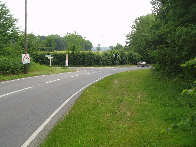
Image: © Nigel Freeman Taken: 25 Jun 2005
The stone cross is not to be seen. The road bends round and down the hill to Lindfield. The left turning takes you to Horsted Keynes.
Images are licensed for reuse under creativecommons.org/licenses/by-sa/2.0
Image Location


Leaflet Map data © OpenStreetMap
Latitude
51.029955
Longitude
-0.066223