Tarf Water
Introduction
The photograph on this page of Tarf Water by Andy Farrington as part of the Geograph project.
The Geograph project started in 2005 with the aim of publishing, organising and preserving representative images for every square kilometre of Great Britain, Ireland and the Isle of Man.

There are currently over 7.5m images from over 14,400 individuals and you can help contribute to the project by visiting https://www.geograph.org.uk
Tarf Water
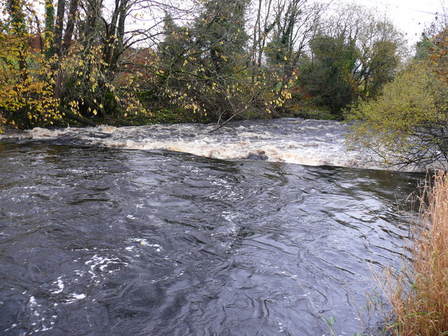
Image: © Andy Farrington Taken: 4 Nov 2010
View of the river as it flows down from Kircowan to the River Bladnoch, taken by Johnston's Bridge. The recent heavy rainfall has made it quite busy at this point.
Images are licensed for reuse under creativecommons.org/licenses/by-sa/2.0
Image Location


Leaflet Map data © OpenStreetMap
Latitude
54.910337
Longitude
-4.592567