Road Closed
Introduction
The photograph on this page of Road Closed by Martin Addison as part of the Geograph project.
The Geograph project started in 2005 with the aim of publishing, organising and preserving representative images for every square kilometre of Great Britain, Ireland and the Isle of Man.

There are currently over 7.5m images from over 14,400 individuals and you can help contribute to the project by visiting https://www.geograph.org.uk
Road Closed
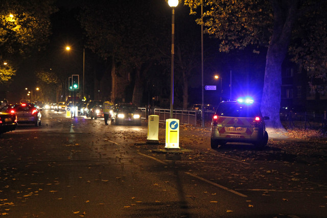
Image: © Martin Addison Taken: 2 Nov 2010
A policeman tells drivers their options beside the junction with Oak Lane after the High Road was closed to traffic. My advice at this point would have been turn around and go via Squires lane - Oak Lane eventually leads through to Long Lane which was gridlocked by this time at the Dick Turpin. The High Road was closed following a serious accident involving a pedestrian and a motorcyclist, to allow the police to carry out a full investigation. The road remained closed from 17:15 until 21:45 causing chaos with the rush hour traffic in the surrounding side streets.
Images are licensed for reuse under creativecommons.org/licenses/by-sa/2.0
Image Location
Latitude
51.597657
Longitude
-0.17172