Culvert and Stream
Introduction
The photograph on this page of Culvert and Stream by terry joyce as part of the Geograph project.
The Geograph project started in 2005 with the aim of publishing, organising and preserving representative images for every square kilometre of Great Britain, Ireland and the Isle of Man.

There are currently over 7.5m images from over 14,400 individuals and you can help contribute to the project by visiting https://www.geograph.org.uk
Culvert and Stream
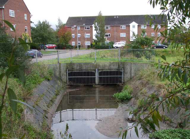
Image: © terry joyce Taken: 27 Oct 2010
I believe this culvert in Boston Avenue is fed from a number of streams. It is part of the stream that flows from under the A129 London Road via Maine Crescent. See Image and Image It is likely that the overflow from Sweyne Park Pond also flows through this culvert.
Images are licensed for reuse under creativecommons.org/licenses/by-sa/2.0
Image Location
Latitude
51.596981
Longitude
0.590213