Telford Rd Salisbury
Introduction
The photograph on this page of Telford Rd Salisbury by Nigel Mykura as part of the Geograph project.
The Geograph project started in 2005 with the aim of publishing, organising and preserving representative images for every square kilometre of Great Britain, Ireland and the Isle of Man.

There are currently over 7.5m images from over 14,400 individuals and you can help contribute to the project by visiting https://www.geograph.org.uk
Telford Rd Salisbury
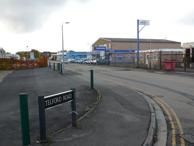
Image: © Nigel Mykura Taken: 30 Oct 2010
Approximately one mile west of the city centre is Churchfields Industrial Estate where many of the roads are named after great British engineers. Telford Rd runs between Stephenson St and Brunel Rd.
Images are licensed for reuse under creativecommons.org/licenses/by-sa/2.0
Image Location
Latitude
51.067922
Longitude
-1.812706