Farm road in Waldershare Park
Introduction
The photograph on this page of Farm road in Waldershare Park by David Anstiss as part of the Geograph project.
The Geograph project started in 2005 with the aim of publishing, organising and preserving representative images for every square kilometre of Great Britain, Ireland and the Isle of Man.

There are currently over 7.5m images from over 14,400 individuals and you can help contribute to the project by visiting https://www.geograph.org.uk
Farm road in Waldershare Park
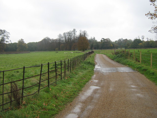
Image: © David Anstiss Taken: 31 Oct 2010
This road leads from the Mansion and Home Farm towards the Sandwich Road. Part of it is used by the North Downs Way (long distance path) towards All Saints Church and Church Wood (in the background).
Images are licensed for reuse under creativecommons.org/licenses/by-sa/2.0
Image Location
Latitude
51.186569
Longitude
1.279449