Farmland near Stratton Hall
Introduction
The photograph on this page of Farmland near Stratton Hall by Tim Marchant as part of the Geograph project.
The Geograph project started in 2005 with the aim of publishing, organising and preserving representative images for every square kilometre of Great Britain, Ireland and the Isle of Man.

There are currently over 7.5m images from over 14,400 individuals and you can help contribute to the project by visiting https://www.geograph.org.uk
Farmland near Stratton Hall
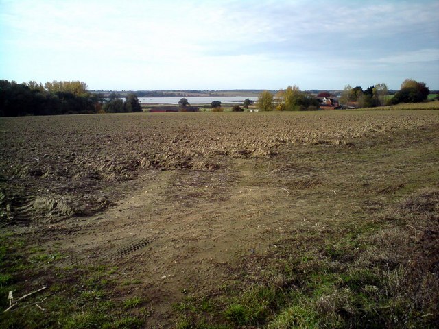
Image: © Tim Marchant Taken: 3 Nov 2010
In the mid distance are Stratton Hall and to the left of shot Stratton Hall Wood. The Orwell is in the distance. Photo taken from the top of the road down to Levington Marina.
Images are licensed for reuse under creativecommons.org/licenses/by-sa/2.0
Image Location
Latitude
52.003044
Longitude
1.272607