Kirkmabreck Quay
Introduction
The photograph on this page of Kirkmabreck Quay by Andy Farrington as part of the Geograph project.
The Geograph project started in 2005 with the aim of publishing, organising and preserving representative images for every square kilometre of Great Britain, Ireland and the Isle of Man.

There are currently over 7.5m images from over 14,400 individuals and you can help contribute to the project by visiting https://www.geograph.org.uk
Kirkmabreck Quay
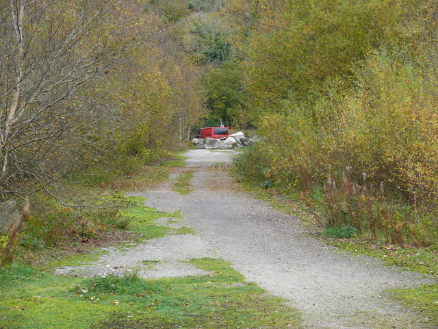
Image: © Andy Farrington Taken: 1 Nov 2010
This road that leads down to the quay has been blocked at the A75 with a metal gate and some serious heavy duty granite boulders. A sign warns off fly tippers.
Images are licensed for reuse under creativecommons.org/licenses/by-sa/2.0
Image Location


Leaflet Map data © OpenStreetMap
Latitude
54.878931
Longitude
-4.374468