Llwybr Great Pale Footpath
Introduction
The photograph on this page of Llwybr Great Pale Footpath by Alan Richards as part of the Geograph project.
The Geograph project started in 2005 with the aim of publishing, organising and preserving representative images for every square kilometre of Great Britain, Ireland and the Isle of Man.

There are currently over 7.5m images from over 14,400 individuals and you can help contribute to the project by visiting https://www.geograph.org.uk
Llwybr Great Pale Footpath
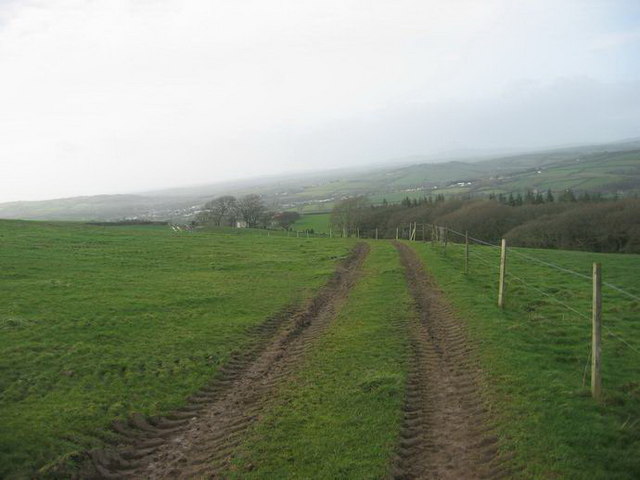
Image: © Alan Richards Taken: 20 Jan 2007
Llwybr cyhoeddus yn arwain at Ffarm Great Pale (Pale Fawr gynt). Credir i'r enw dod o ffens a fu'n amgylchynu parc ceirw yn dyddio i'r Canol Oesoedd. Public footpath leading to Great Pale Farm. It is believed that the name 'Pale'is a borrowing from the English 'palisade' - a wooden fence that formerly encircled a deer park dating from the Middle Ages
Images are licensed for reuse under creativecommons.org/licenses/by-sa/2.0
Image Location


Leaflet Map data © OpenStreetMap
Latitude
51.80847
Longitude
-4.574811