Roughton, cut bench mark on St Margaret's church
Introduction
The photograph on this page of Roughton, cut bench mark on St Margaret's church by Brian Westlake as part of the Geograph project.
The Geograph project started in 2005 with the aim of publishing, organising and preserving representative images for every square kilometre of Great Britain, Ireland and the Isle of Man.

There are currently over 7.5m images from over 14,400 individuals and you can help contribute to the project by visiting https://www.geograph.org.uk
Roughton, cut bench mark on St Margaret's church
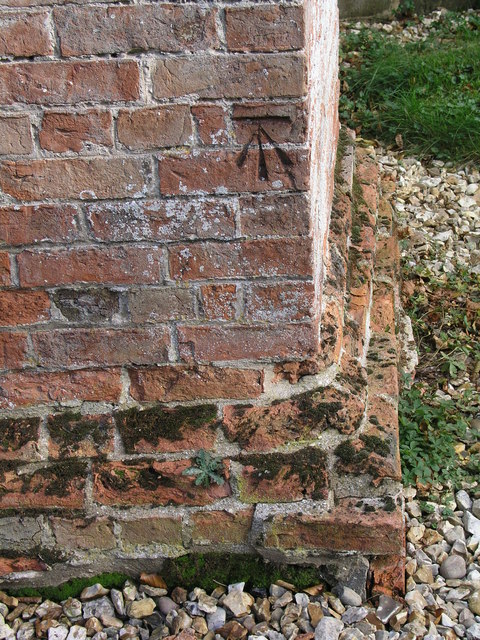
Image: © Brian Westlake Taken: 21 Oct 2010
A neat mark close to the SW angle of the (mostly) brick tower. See http://www.bench-marks.org.uk/bm35880 for details.
Images are licensed for reuse under creativecommons.org/licenses/by-sa/2.0
Image Location


Leaflet Map data © OpenStreetMap
Latitude
53.164867
Longitude
-0.144699