River Sow
Introduction
The photograph on this page of River Sow by P L Chadwick as part of the Geograph project.
The Geograph project started in 2005 with the aim of publishing, organising and preserving representative images for every square kilometre of Great Britain, Ireland and the Isle of Man.

There are currently over 7.5m images from over 14,400 individuals and you can help contribute to the project by visiting https://www.geograph.org.uk
River Sow
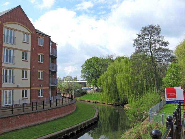
Image: © P L Chadwick Taken: 1 May 2010
The river rises to the south of Newcastle-under-Lyme and is the major river through Stafford. It eventually flows into the River Trent. Image
Images are licensed for reuse under creativecommons.org/licenses/by-sa/2.0
Image Location
Latitude
52.804315
Longitude
-2.117587