Oatfield near Mains of Gray
Introduction
The photograph on this page of Oatfield near Mains of Gray by Val Vannet as part of the Geograph project.
The Geograph project started in 2005 with the aim of publishing, organising and preserving representative images for every square kilometre of Great Britain, Ireland and the Isle of Man.

There are currently over 7.5m images from over 14,400 individuals and you can help contribute to the project by visiting https://www.geograph.org.uk
Oatfield near Mains of Gray
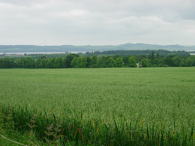
Image: © Val Vannet Taken: 18 Jun 2005
The view is taken from the minor road in the south west corner of the grid box and looks south west to the deciduous woodland surrounding Mains of Gray house and beyond, to the Tay estuary and the north of Fife.
Images are licensed for reuse under creativecommons.org/licenses/by-sa/2.0
Image Location
Latitude
56.480036
Longitude
-3.065035