Looking up Station Road into Bolsover
Introduction
The photograph on this page of Looking up Station Road into Bolsover by Andrew Hill as part of the Geograph project.
The Geograph project started in 2005 with the aim of publishing, organising and preserving representative images for every square kilometre of Great Britain, Ireland and the Isle of Man.

There are currently over 7.5m images from over 14,400 individuals and you can help contribute to the project by visiting https://www.geograph.org.uk
Looking up Station Road into Bolsover
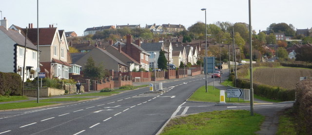
Image: © Andrew Hill Taken: 30 Oct 2010
The main road from Chesterfield leads impressively towards Bolsover, the main town centre being at the top of the hill. The large castle dominates the scene just to the right of this picture.
Images are licensed for reuse under creativecommons.org/licenses/by-sa/2.0
Image Location
Latitude
53.232741
Longitude
-1.303635