Albany Park Canoeing and Sailing Centre, Lower Ham Rd
Introduction
The photograph on this page of Albany Park Canoeing and Sailing Centre, Lower Ham Rd by N Chadwick as part of the Geograph project.
The Geograph project started in 2005 with the aim of publishing, organising and preserving representative images for every square kilometre of Great Britain, Ireland and the Isle of Man.

There are currently over 7.5m images from over 14,400 individuals and you can help contribute to the project by visiting https://www.geograph.org.uk
Albany Park Canoeing and Sailing Centre, Lower Ham Rd
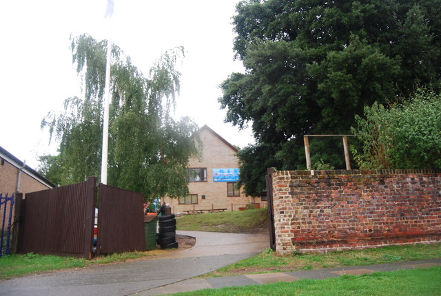
Image: © N Chadwick Taken: 25 Aug 2010
Run by Kingston Borough Council. http://www.kingston.gov.uk/browse/leisure/albanypark.htm
Images are licensed for reuse under creativecommons.org/licenses/by-sa/2.0
Image Location
Latitude
51.423049
Longitude
-0.305128