Stream at Sandford
Introduction
The photograph on this page of Stream at Sandford by Derek Harper as part of the Geograph project.
The Geograph project started in 2005 with the aim of publishing, organising and preserving representative images for every square kilometre of Great Britain, Ireland and the Isle of Man.

There are currently over 7.5m images from over 14,400 individuals and you can help contribute to the project by visiting https://www.geograph.org.uk
Stream at Sandford
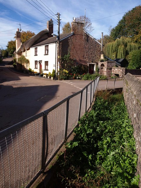
Image: © Derek Harper Taken: 25 Oct 2010
Obscured by watercress as it runs away from the Coronation Pump across the road in the background. On the left are Shute House and Shute Cottages.
Images are licensed for reuse under creativecommons.org/licenses/by-sa/2.0
Image Location
Latitude
50.810409
Longitude
-3.666254