Old Parish Boundary Stone (B for Budby)
Introduction
The photograph on this page of Old Parish Boundary Stone (B for Budby) by David Simpson as part of the Geograph project.
The Geograph project started in 2005 with the aim of publishing, organising and preserving representative images for every square kilometre of Great Britain, Ireland and the Isle of Man.

There are currently over 7.5m images from over 14,400 individuals and you can help contribute to the project by visiting https://www.geograph.org.uk
Old Parish Boundary Stone (B for Budby)
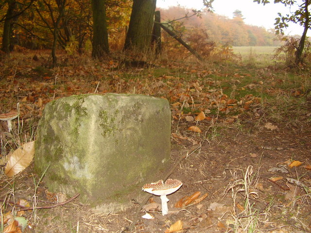
Image: © David Simpson Taken: 31 Oct 2005
A parish boundary stone Found on the edge of Hatfield Plantation close to Meden Vale and Gleadthorpe. The boundary shown on today's map shows that it is further to the east of this point in the field you can see in the background If anyone knows the period or age of this stone I'd love to know. I know there are some similar in nearby Birklands Woods as seen on this site http://www.thynghowe.org.uk/Thyng.html
Images are licensed for reuse under creativecommons.org/licenses/by-sa/2.0
Image Location
Latitude
53.231201
Longitude
-1.124488