A4259 from Wick Lane, Swindon
Introduction
The photograph on this page of A4259 from Wick Lane, Swindon by Brian Robert Marshall as part of the Geograph project.
The Geograph project started in 2005 with the aim of publishing, organising and preserving representative images for every square kilometre of Great Britain, Ireland and the Isle of Man.

There are currently over 7.5m images from over 14,400 individuals and you can help contribute to the project by visiting https://www.geograph.org.uk
A4259 from Wick Lane, Swindon
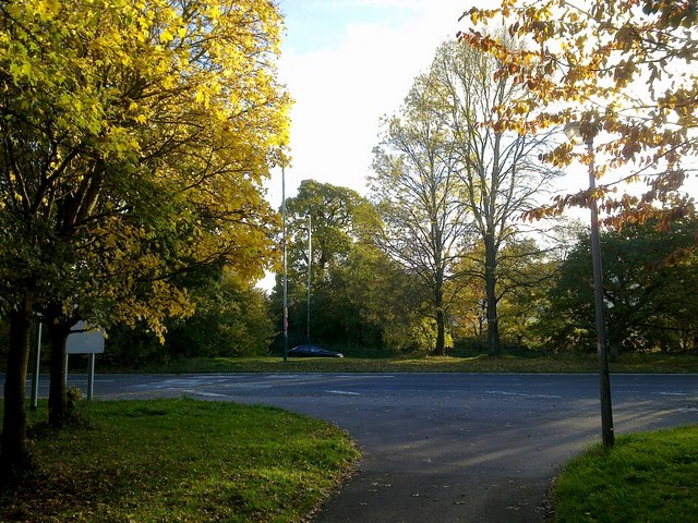
Image: © Brian Robert Marshall Taken: 30 Oct 2010
Wick Lane is in the foreground. It is now a cycle track and footpath. Many years ago it was a minor road to the nearby village of Wanborough. The A4259 just beyond is now a dual carriageway. Back then it was just a single carriageway. The rapid growth of Swindon and the concomitant increase in traffic necessitated the dualling of the road and the construction of what is effectively an eastern bypass in the form of the A419.
Images are licensed for reuse under creativecommons.org/licenses/by-sa/2.0
Image Location
Latitude
51.540717
Longitude
-1.725125