Elm Road and Elm Close, Tutshill
Introduction
The photograph on this page of Elm Road and Elm Close, Tutshill by Jaggery as part of the Geograph project.
The Geograph project started in 2005 with the aim of publishing, organising and preserving representative images for every square kilometre of Great Britain, Ireland and the Isle of Man.

There are currently over 7.5m images from over 14,400 individuals and you can help contribute to the project by visiting https://www.geograph.org.uk
Elm Road and Elm Close, Tutshill
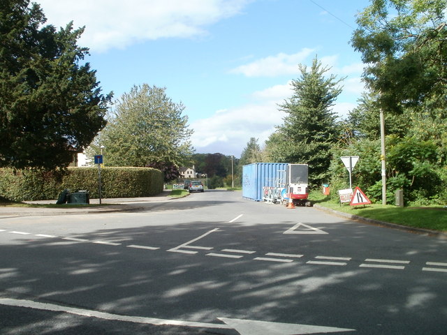
Image: © Jaggery Taken: 17 Sep 2010
Viewed across Gloucester Road. Straight ahead from Elm Road, sharp left (behind the No Through Road sign next to the tree on the left) for Elm Close.
Images are licensed for reuse under creativecommons.org/licenses/by-sa/2.0
Image Location
Latitude
51.649217
Longitude
-2.663367