Entering Tutshill from the east
Introduction
The photograph on this page of Entering Tutshill from the east by Jaggery as part of the Geograph project.
The Geograph project started in 2005 with the aim of publishing, organising and preserving representative images for every square kilometre of Great Britain, Ireland and the Isle of Man.

There are currently over 7.5m images from over 14,400 individuals and you can help contribute to the project by visiting https://www.geograph.org.uk
Entering Tutshill from the east
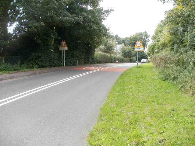
Image: © Jaggery Taken: 17 Sep 2010
A few metres west of the turning for Bigstone Meadow, http://www.geograph.org.uk/photo/2139673 the B4228 (Gloucester Road) reaches the Tutshill boundary signs.
Images are licensed for reuse under creativecommons.org/licenses/by-sa/2.0
Image Location
Latitude
51.648327
Longitude
-2.661908