Crediton Hamlets: footpath to Davidsland Farm
Introduction
The photograph on this page of Crediton Hamlets: footpath to Davidsland Farm by Martin Bodman as part of the Geograph project.
The Geograph project started in 2005 with the aim of publishing, organising and preserving representative images for every square kilometre of Great Britain, Ireland and the Isle of Man.

There are currently over 7.5m images from over 14,400 individuals and you can help contribute to the project by visiting https://www.geograph.org.uk
Crediton Hamlets: footpath to Davidsland Farm
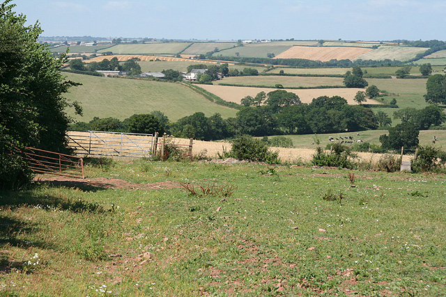
Image: © Martin Bodman Taken: 3 Aug 2006
Looking north-north-west. Davisland is out of shot and the farmhouse in mid-distance is Ash Bullayne. A 'Bull in Field' warning notice was tacked to the fence bordering the immediate field although there was no bull to be seen
Images are licensed for reuse under creativecommons.org/licenses/by-sa/2.0
Image Location
Latitude
50.815235
Longitude
-3.736127