Hawkhurst Moor
Introduction
The photograph on this page of Hawkhurst Moor by John Evans as part of the Geograph project.
The Geograph project started in 2005 with the aim of publishing, organising and preserving representative images for every square kilometre of Great Britain, Ireland and the Isle of Man.

There are currently over 7.5m images from over 14,400 individuals and you can help contribute to the project by visiting https://www.geograph.org.uk
Hawkhurst Moor
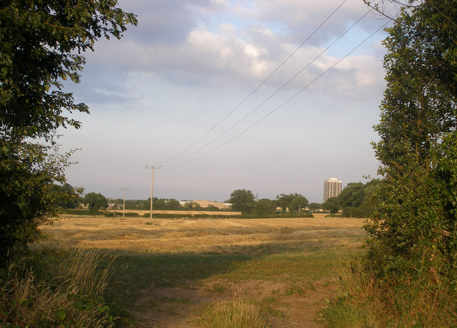
Image: © John Evans Taken: 3 Aug 2006
According to the 1940's O.S. map Hawkhurst Moor Farm buildings would have been to the right of the picture. It was on these fields that, in the late 80's, it was planned to build the largest coal mine in Europe. The Public Inquiry did not approve it. The "remains" of the Massey Ferguson Works and the remaining tower block can be seen in the distance.
Images are licensed for reuse under creativecommons.org/licenses/by-sa/2.0
Image Location


Leaflet Map data © OpenStreetMap
Latitude
52.413747
Longitude
-1.607411