B4228 curves away from A48, near Tutshill
Introduction
The photograph on this page of B4228 curves away from A48, near Tutshill by Jaggery as part of the Geograph project.
The Geograph project started in 2005 with the aim of publishing, organising and preserving representative images for every square kilometre of Great Britain, Ireland and the Isle of Man.

There are currently over 7.5m images from over 14,400 individuals and you can help contribute to the project by visiting https://www.geograph.org.uk
B4228 curves away from A48, near Tutshill
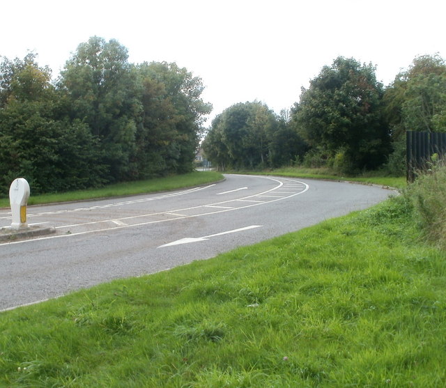
Image: © Jaggery Taken: 17 Sep 2010
Gloucester Road (B4228) climbs away from the A48 towards the eastern edge of Tutshill.
Images are licensed for reuse under creativecommons.org/licenses/by-sa/2.0
Image Location
Latitude
51.649242
Longitude
-2.659031