Reed beds, Kingoodie bay
Introduction
The photograph on this page of Reed beds, Kingoodie bay by Val Vannet as part of the Geograph project.
The Geograph project started in 2005 with the aim of publishing, organising and preserving representative images for every square kilometre of Great Britain, Ireland and the Isle of Man.

There are currently over 7.5m images from over 14,400 individuals and you can help contribute to the project by visiting https://www.geograph.org.uk
Reed beds, Kingoodie bay
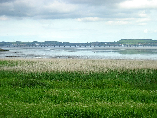
Image: © Val Vannet Taken: 18 Jun 2005
Extensive areas of reed beds line the north shore of the Tay in Kingoodie Bay. In the past reeds from the Tay have been used for thatching (see NO3030). This view is taken from the minor road in the south east corner of the grid box and looks south east towards the Tay rail bridge.
Images are licensed for reuse under creativecommons.org/licenses/by-sa/2.0
Image Location


Leaflet Map data © OpenStreetMap
Latitude
56.452806
Longitude
-3.096722