Barn Croft
Introduction
The photograph on this page of Barn Croft by Simon Carey as part of the Geograph project.
The Geograph project started in 2005 with the aim of publishing, organising and preserving representative images for every square kilometre of Great Britain, Ireland and the Isle of Man.

There are currently over 7.5m images from over 14,400 individuals and you can help contribute to the project by visiting https://www.geograph.org.uk
Barn Croft
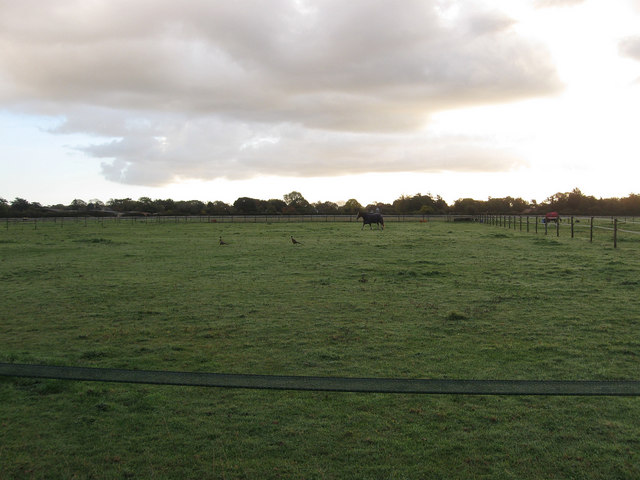
Image: © Simon Carey Taken: 30 Oct 2010
The name of the field according to the 1846 tithe map and once part of Walberton Common that was inclosed in 1769. Many of the fields between the bridleway and Mill Road are now paddocks.
Images are licensed for reuse under creativecommons.org/licenses/by-sa/2.0
Image Location
Latitude
50.85499
Longitude
-0.628281