Copse Lane
Introduction
The photograph on this page of Copse Lane by Simon Carey as part of the Geograph project.
The Geograph project started in 2005 with the aim of publishing, organising and preserving representative images for every square kilometre of Great Britain, Ireland and the Isle of Man.

There are currently over 7.5m images from over 14,400 individuals and you can help contribute to the project by visiting https://www.geograph.org.uk
Copse Lane
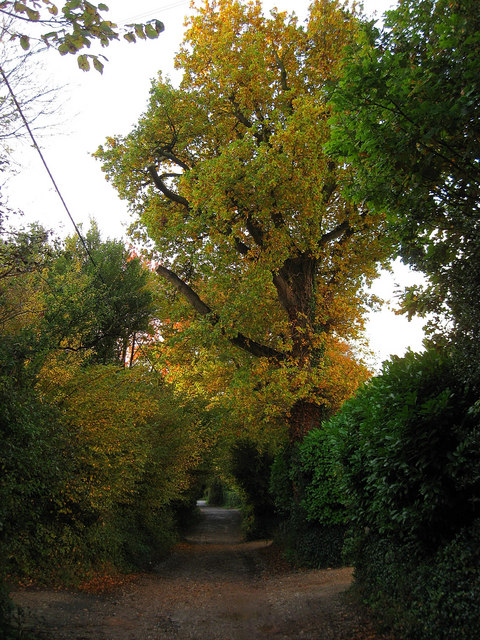
Image: © Simon Carey Taken: 30 Oct 2010
A private road though public bridleway that once linked West Walberton Lane to Arundel, the A27. The dualling of the latter means the lane is now a dead end. The elm is in full autumnal colour.
Images are licensed for reuse under creativecommons.org/licenses/by-sa/2.0
Image Location
Latitude
50.848182
Longitude
-0.630612