Walberton Green
Introduction
The photograph on this page of Walberton Green by Simon Carey as part of the Geograph project.
The Geograph project started in 2005 with the aim of publishing, organising and preserving representative images for every square kilometre of Great Britain, Ireland and the Isle of Man.

There are currently over 7.5m images from over 14,400 individuals and you can help contribute to the project by visiting https://www.geograph.org.uk
Walberton Green
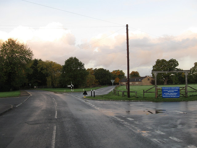
Image: © Simon Carey Taken: 30 Oct 2010
Originally a small common around which grew a small settlement called Walberton Green, occasionally known as West Walberton. The development of the village of Walberton meant the two joined sometime in the early 20th century and are now one settlement. It officially became a village green in 1967 which includes the area to the right, the pond and a small patch of grass to the left. The wooden Jubilee Arch was erected in 1935 though it was taken down for safety reasons in the 1960s then returned in 1982. Barnham Lane continues straight ahead to Barnham, West Walberton Lane is the first on the right in front of the arch and heads north to Fontwell, whilst Eastergate Lane heads east to the A29 to the north of Eastergate.
Images are licensed for reuse under creativecommons.org/licenses/by-sa/2.0
Image Location
Latitude
50.846005
Longitude
-0.628971