View through Folly at Gledswood
Introduction
The photograph on this page of View through Folly at Gledswood by Hamish Bain as part of the Geograph project.
The Geograph project started in 2005 with the aim of publishing, organising and preserving representative images for every square kilometre of Great Britain, Ireland and the Isle of Man.

There are currently over 7.5m images from over 14,400 individuals and you can help contribute to the project by visiting https://www.geograph.org.uk
View through Folly at Gledswood
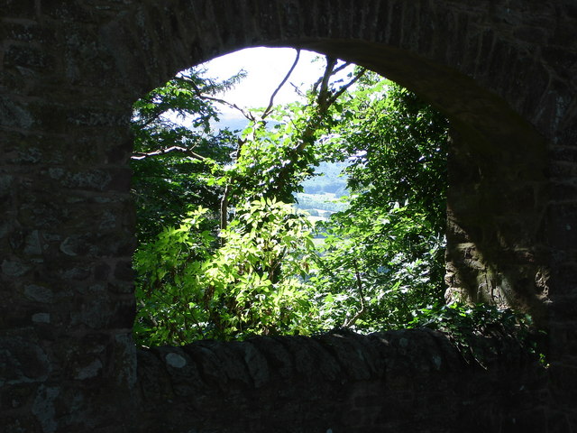
Image: © Hamish Bain Taken: 3 Aug 2006
Eildon Hills in background
Images are licensed for reuse under creativecommons.org/licenses/by-sa/2.0
Image Location


Leaflet Map data © OpenStreetMap
Latitude
55.602335
Longitude
-2.660206