Ripe wheat at Stubblefield
Introduction
The photograph on this page of Ripe wheat at Stubblefield by Penny Mayes as part of the Geograph project.
The Geograph project started in 2005 with the aim of publishing, organising and preserving representative images for every square kilometre of Great Britain, Ireland and the Isle of Man.

There are currently over 7.5m images from over 14,400 individuals and you can help contribute to the project by visiting https://www.geograph.org.uk
Ripe wheat at Stubblefield
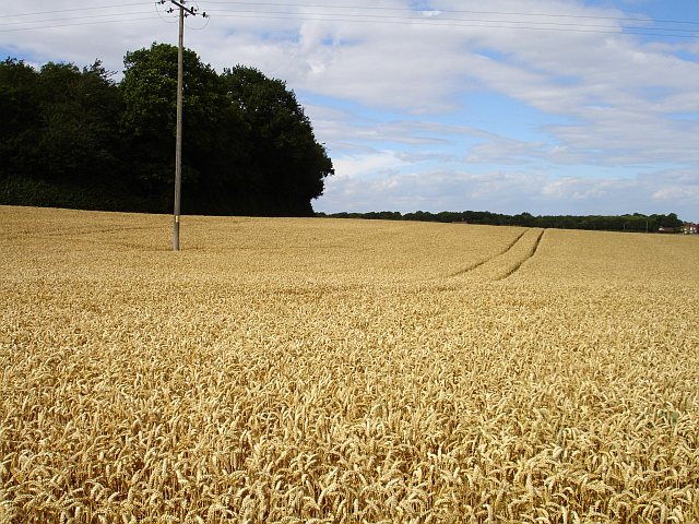
Image: © Penny Mayes Taken: 1 Aug 2006
With the harvest in full swing I thought I was sure to find a stubble field here but was obviously a few days too early. Stubblefield House lies a few hundred metres west (left) of here.
Images are licensed for reuse under creativecommons.org/licenses/by-sa/2.0
Image Location
Latitude
51.246077
Longitude
0.76963