Tablet, Garndiffaith Viaduct
Introduction
The photograph on this page of Tablet, Garndiffaith Viaduct by Jaggery as part of the Geograph project.
The Geograph project started in 2005 with the aim of publishing, organising and preserving representative images for every square kilometre of Great Britain, Ireland and the Isle of Man.

There are currently over 7.5m images from over 14,400 individuals and you can help contribute to the project by visiting https://www.geograph.org.uk
Tablet, Garndiffaith Viaduct
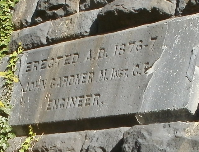
Image: © Jaggery Taken: 25 Oct 2010
The tablet on the east side of the viaduct http://www.geograph.org.uk/photo/2137473 arch above Viaduct Road shows ERECTED A.D. 1876-7 JOHN GARDNER M.INST.C.E. ENGINEER M.INST.C.E. indicates a Member of the Institution of Civil Engineers.
Images are licensed for reuse under creativecommons.org/licenses/by-sa/2.0
Image Location
Latitude
51.732547
Longitude
-3.068588