Tree and flats, Bacon Place, Newport
Introduction
The photograph on this page of Tree and flats, Bacon Place, Newport by Jaggery as part of the Geograph project.
The Geograph project started in 2005 with the aim of publishing, organising and preserving representative images for every square kilometre of Great Britain, Ireland and the Isle of Man.

There are currently over 7.5m images from over 14,400 individuals and you can help contribute to the project by visiting https://www.geograph.org.uk
Tree and flats, Bacon Place, Newport
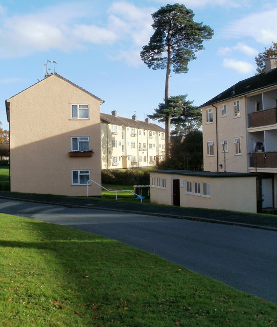
Image: © Jaggery Taken: 30 Oct 2010
The view south across a bend in Bacon Place, from near the corner of Whittle Drive.
Images are licensed for reuse under creativecommons.org/licenses/by-sa/2.0
Image Location
Latitude
51.616167
Longitude
-3.010967