Hadley Covert, Marbury
Introduction
The photograph on this page of Hadley Covert, Marbury by Mike Harris as part of the Geograph project.
The Geograph project started in 2005 with the aim of publishing, organising and preserving representative images for every square kilometre of Great Britain, Ireland and the Isle of Man.

There are currently over 7.5m images from over 14,400 individuals and you can help contribute to the project by visiting https://www.geograph.org.uk
Hadley Covert, Marbury
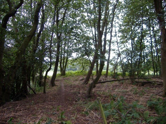
Image: © Mike Harris Taken: 2 Aug 2006
Hadley Covert, Marbury, on the footpath from Wirswall Road to Steer Bridge on the Shropshire Union Canal.
Images are licensed for reuse under creativecommons.org/licenses/by-sa/2.0
Image Location


Leaflet Map data © OpenStreetMap
Latitude
53.010602
Longitude
-2.667366