The Talbot, Ledbury
Introduction
The photograph on this page of The Talbot, Ledbury by Jerry Fryman as part of the Geograph project.
The Geograph project started in 2005 with the aim of publishing, organising and preserving representative images for every square kilometre of Great Britain, Ireland and the Isle of Man.

There are currently over 7.5m images from over 14,400 individuals and you can help contribute to the project by visiting https://www.geograph.org.uk
The Talbot, Ledbury
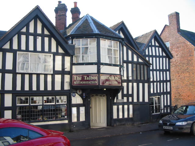
Image: © Jerry Fryman Taken: 21 Feb 2002
One of Ledbury's oldest, see how the pavement has built up over the years.
Images are licensed for reuse under creativecommons.org/licenses/by-sa/2.0
Image Location


Leaflet Map data © OpenStreetMap
Latitude
52.03514
Longitude
-2.424161