Farmland at the foot of Bostal Hill
Introduction
The photograph on this page of Farmland at the foot of Bostal Hill by Simon Carey as part of the Geograph project.
The Geograph project started in 2005 with the aim of publishing, organising and preserving representative images for every square kilometre of Great Britain, Ireland and the Isle of Man.

There are currently over 7.5m images from over 14,400 individuals and you can help contribute to the project by visiting https://www.geograph.org.uk
Farmland at the foot of Bostal Hill
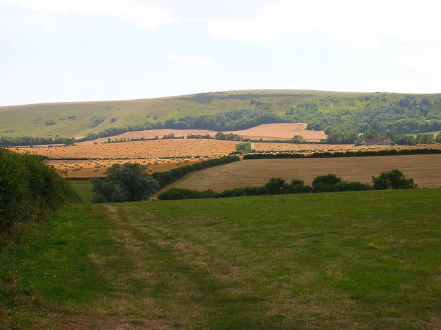
Image: © Simon Carey Taken: 2 Aug 2006
Looking down the footpath that leads to Alciston from Bo Peep Lane. Bo Peep Farm is on the right of the picture and Bostal Hill straight ahead.
Images are licensed for reuse under creativecommons.org/licenses/by-sa/2.0
Image Location
Latitude
50.836667
Longitude
0.135977