Footpath at Ashfield
Introduction
The photograph on this page of Footpath at Ashfield by Trevor Rickard as part of the Geograph project.
The Geograph project started in 2005 with the aim of publishing, organising and preserving representative images for every square kilometre of Great Britain, Ireland and the Isle of Man.

There are currently over 7.5m images from over 14,400 individuals and you can help contribute to the project by visiting https://www.geograph.org.uk
Footpath at Ashfield
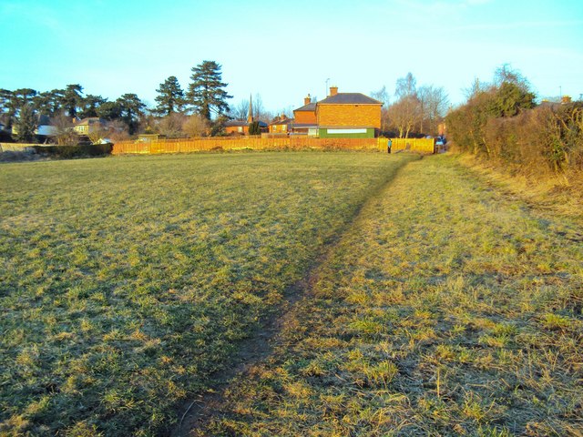
Image: © Trevor Rickard Taken: 5 Mar 2010
Running north-east from Hawthorne Lane towards the houses bathed in evening sunlight on Middleton Avenue. The spire of St Mary's Church just to the right of the mature trees at The Prospect.
Images are licensed for reuse under creativecommons.org/licenses/by-sa/2.0
Image Location
Latitude
51.909178
Longitude
-2.591018